Rejoignez une communauté professionnelle d'hydrographes, tenez-vous au courant des dernières technologies et trouvez l'inspiration dans l'exploration de nos rivières, lacs et océans.
Association canadienne d’hydrographie
(ACH) rassemble des professionnels, des chercheurs et des passionnés de l'hydrographie afin de les aider à partager leurs connaissances, à créer des réseaux, à développer leur carrière et à contribuer à l'étude des eaux du monde.
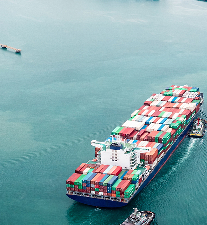
L'hydrographie joue un rôle essentiel dans la navigation, la protection de l'environnement, la prévention des catastrophes et la gestion des ressources. Des données hydrographiques précises garantissent la sécurité du transport maritime, favorisent une pêche durable et contribuent à atténuer les effets du changement climatique sur les zones côtières.
Nos entreprises membres ont un impact sur le secteur
En soutenant ACH, ces organisations contribuent à faire progresser la science hydrographique, à favoriser la croissance professionnelle et à assurer le développement de nouvelles solutions qui profitent à la fois à l'industrie et à l'environnement.
Rejoignez-nous à la Conférence hydrographique internationale du Canada 2026
Entrez en contact avec des leaders mondiaux, explorez les dernières avancées et participez à l'élaboration de l'avenir de l'hydrographie. La conférence de cette année comprendra des conférences d'experts, un salon professionnel présentant les derniers produits et services, et des possibilités de réseautage pour les professionnels de tous niveaux.
Nous nous engageons à faire progresser l'hydrographie par le biais de la sensibilisation du public, de programmes éducatifs et de réseaux professionnels.
Engagement
Nous offrons des plateformes efficaces pour échanger de l’information et partager les progrès et réalisations en hydrographie.
L'éducation
L'autonomisation de la prochaine génération d'hydrographes est au cœur de notre mission. Nous proposons des bourses, des formations continues et des ressources en ligne pour soutenir les étudiants et les professionnels.
hydrographique
Participer à la définition et au maintien des normes professionnelles afin de s'assurer que les hydrographes sont équipés pour réaliser des levés précis et efficaces.
Association canadienne d'hydrographie (ACH) est une organisation professionnelle qui se consacre à la promotion et à l'avancement de l'hydrographie au Canada et ailleurs. Notre mission est de soutenir les étudiants, les professionnels et les passionnés du domaine en offrant des possibilités de réseautage, de développement professionnel et de soutien à ceux qui poursuivent une carrière en hydrographie. Fortement engagés dans l'innovation, la durabilité et la collaboration, nous travaillons en étroite collaboration avec les leaders de l'industrie, les institutions académiques et les organismes gouvernementaux afin d'améliorer la compréhension et l'application de la science hydrographique.
Que vous soyez un expert chevronné ou que vous commenciez à peine votre voyage en hydrographie, ACH vous offre une plateforme pour vous connecter, apprendre et contribuer à l'avenir de l'exploration marine et d'eau douce.
Nous accueillons avec plaisir les questions, les idées et les occasions de collaboration de la part de professionnels, d’étudiants et de partenaires en hydrographie. Que vous vous intéressiez à l’adhésion, aux ressources, aux partenariats ou que vous souhaitiez simplement en savoir plus sur notre travail, notre équipe est là pour échanger.
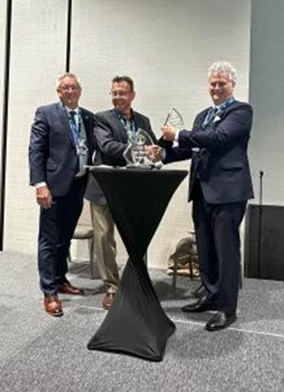
Dr. Ian Church is a highly respected, internationally recognized authority and visionary leader in Hydrospatial and Hydrographic Sciences whose influence extends across Canada and throughout the global ocean mapping community. As Assistant Professor and dynamic leader of the Ocean Mapping Group at the University of New Brunswick, he has been an instrumental and driving force behind the sustained growth, excellence, and international stature of the Canadian Ocean Mapping Research & Education Network (COMREN) as the Chair for many years now.
His leadership is strategic, collaborative, and transformative, positioning Canada at the forefront of Hydrospatial innovation, research, and capacity building. Dr. Church is also a distinguished instructor in the internationally acclaimed Multibeam Sonar Training Course, representing UNB’s Ocean Mapping Group alongside world- renowned experts such as Dr. Larry Mayer and Dr. John Hughes Clarke of the University of New Hampshire’s Center for Coastal and Ocean Mapping. Through this globally respected program, he directly advances technical excellence and professional development on the world stage. With more than two decades of sustained, dedicated, and exemplary service to the hydrographic profession, he embodies technical mastery, academic distinction, and inspirational mentorship, elevating Canada’s reputation internationally.
Above all, Dr. Church is widely admired not only for his professional accomplishments but for his character. He is known as a kind, generous, and highly approachable human being— a leader who listens, supports, and empowers others. Deeply respected by peers, students, and international collaborators alike, he exemplifies integrity, humility, and collegiality.
Sam Masry
Salem (Sam) Masry (1938-2020) immigrated to Canada from Egypt in 1966 after completion of his PhD at University College, London. He began his career at the University of New Brunswick where he became a professor and a founding member of the department of Surveying Engineering. Dr. Masry was a pioneer in the field of digital mapping and, in 1979, founded CARIS to develop digital mapping software, growing to be one of the leading companies in its field internationally. Sam received many awards in recognition of his work and his contributions to his community, including the Talbert Adams Grand Award by the American Society of Photogrammetry, appointments to the Order of Canada and the Order of New Brunswick, and an honorary Doctor of Science from UNB. Sam was an ethical and dedicated leader and entrepreneur with international influence, and a major champion for the importance of well-managed hydrographic and other digital data for the benefit of all.
Larry Mayer
Larry Mayer is a Professor and the Director of the Center for Coastal and Ocean Mapping at the University of New Hampshire. He graduated magna cum laude with an Honors degree in Geology from the University of Rhode Island in 1973 and received a Ph.D. from the Scripps Institution of Oceanography in Marine Geophysics in 1979. At Scripps, he worked with the Marine Physical Laboratory’s Deep-Tow Geophysical package, applying this sophisticated acoustic sensor to problems of deep-sea mapping and the history of climate. After being selected as an astronaut candidate finalist for NASA’s first class of mission specialists, Larry went on to a Post-Doc at the School of Oceanography at the University of Rhode Island where he worked on the early development of the Chirp Sonar and problems of deep-sea sediment transport and paleoceanography. In 1982, he became an Assistant Professor in the Dept. of Oceanography at Dalhousie University and in 1991 moved to the University of New Brunswick to take up the NSERC Industrial Research Chair in Ocean Mapping. In 2000 Larry became the founding director of the Center for Coastal and Ocean Mapping at the University of New Hampshire and the co-director of the NOAA/UNH Joint Hydrographic Center.
Larry has participated in more than 95 cruises (over 75 months at sea!) and has been chief or co-chief scientist of numerous expeditions, including two legs of the Ocean Drilling Program and nine mapping expeditions in the ice-covered regions of the high Arctic. He has served on, or chaired, far too many international panels and committees and has the requisite large number of publications on a variety of topics in marine geology and geophysics. He is the recipient of the Keen Medal for Marine Geology and an Honorary Doctorate from the University of Stockholm. He was a member of the President’s Panel on Ocean Exploration, National Science Foundation’s Advisory Committee for the Geosciences, and chaired a National Academy of Science Committee on national needs for coastal mapping and charting as well as the National Academies report on the impact of the Deepwater Horizon Spill on ecosystem services in the Gulf of Mexico. He was the co-chair of the NOAA’s Ocean Exploration Advisory Working Group, and the Vice-Chair of the Consortium of Ocean Leadership’s Board of Trustees. He is currently the Chair of the National Academies of Science’s Oceans Studies Board, Chair of the MARUM Science Advisory Board, and is a member of the State Dept.’s Extended Continental Shelf Task Force and the Navy’s SCICEX Advisory Committee. In 2016, Larry was appointed by President Obama to the Arctic Research Commission and in 2017 he was elected to the Hydrographic Society of America Hall of Fame. In 2018, he was elected as a member of the National Academy of Engineering, and, in 2019, was elected as a foreign member in the Royal Swedish Academy of Sciences. In 2020, Larry was selected as the first recipient of the Walter Munk Medal from the The Oceanography Society and named a Fellow of the American Geophysical Union. In 2021 Larry was elected to Norwegian Academy for Polar Research.
Larry’s current research deals with increasing the efficiency and effectiveness of seafloor mapping and remote characterization of the seafloor (including the use of autonomous vehicles) as well as advanced applications of 3-D visualization to ocean mapping problems and applications of mapping to Law of the Sea issues, particularly in the Arctic.
Denis Hains
Denis Hains is a leader in the global hydrographic community and is recognized for his substantial contributions, commitment and influencer role as the global instigator of the Hydrospatial Movement Club & Community (https://www.linkedin.com/groups/12556091/) and his leadership in advancing ocean mapping networking, technologies and standards.
A bit more than a year after retiring as the Director General of the Canadian Hydrographic Service with Fisheries and Oceans Canada and as Hydrographer General of Canada; he founded H2i (Hains Hydrospatial International Inc.). He is also notable for being the US-Canada representative on the International Hydrographic Review (IHR) Editorial Board of the International Hydrographic Organization (IHO).
Denis also holds the honor of being one of the five international members of The Nippon Foundation, General Bathymetric Chart of the Oceans (GEBCO)-Seabed 2030 Strategic Advisory Group. He also shares his expertise and leadership as an affiliate research scientist at the University of New Hampshire’s Center for Coastal and Ocean Mapping in the USA.